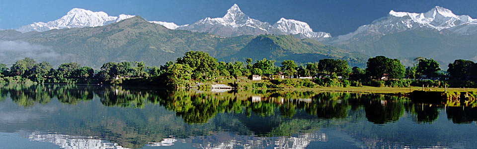
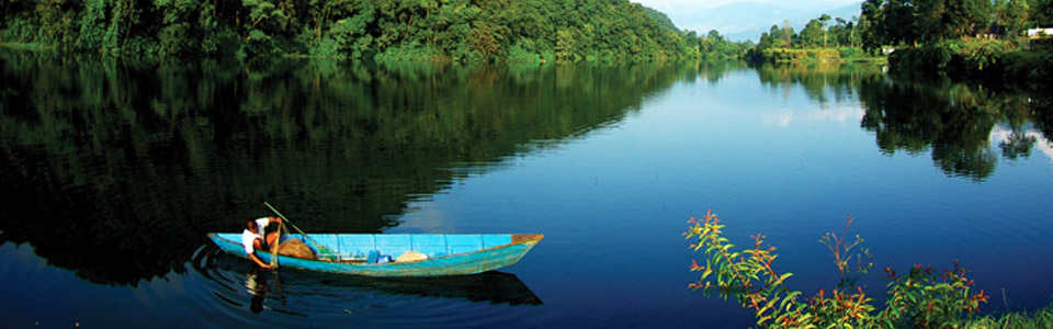
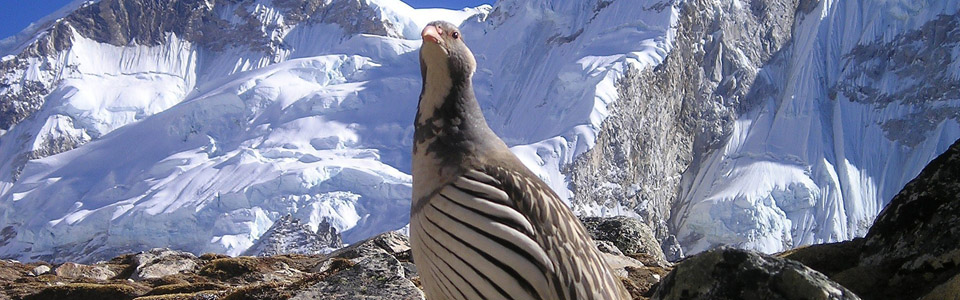
Nepal is situated in the central region of the Greater Himalaya and it contains more of the worlds highest mountains than any other country. These include Makalu, Lhotse, Annapurna, Manaslu, Dhaulagiri and of course, Everest. As in Bhutan and Sikkim, the brief but heavy monsoon nourishes an abundance of exotic vegetation which cloak the hills with bamboo and a multitude of other plants, flowers and trees. Pleasant rural villages are linked by paths through paddy-fields, forest and yak-pasture, giving trekkers access to the foothills and mountains beyond.
Kingdom of Nepal
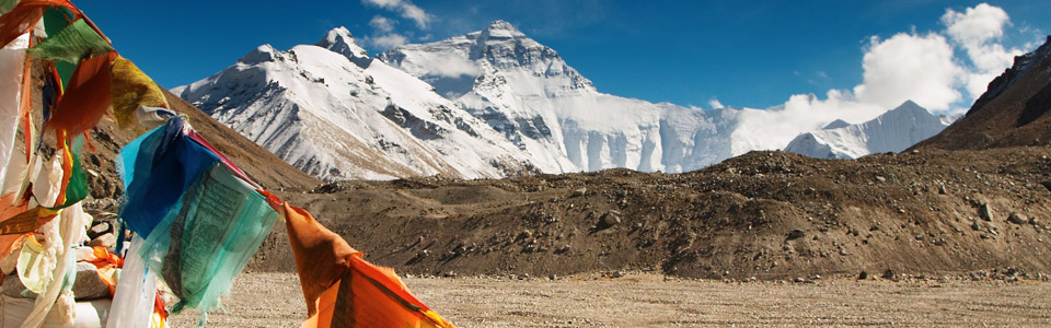
The Kingdom of Nepal lies along the central section of the Greater Himalaya, bordered by Tibet to the north and India to the east, south and west. It encompasses many of the world's highest mountains, including Mount Everest (29,128 ft./8,878 metres) which lies on its northern border. The terrain and climate define three distinct regions. The southern lowlands (Terai Region) of Nepal has a hot, tropical Indian climate. The central hill areas have a cooler sub-tropical climate and the northern region has an alpine climate. The latter two areas are dissected by deep valleys, formed by run-off from the monsoon and snow melt-water.
The country can be divided into three main geographic regions :
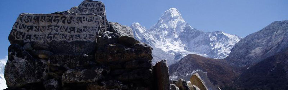
The Himalayan Region : The altitude of this region ranges between 4877 meters and 8848 meters with the snow line running around 4848 meters. It includes 8 of the 14 summits in the world which exceed an altitude of 8000 meters. (1) Sagarmatha (Mt. Everest) 8848 m, (2) Kangchenjunga - 8586 m, (3) Lhotse - 8516m, Makalu - 8463m, (5) ChoOyo- 8201 m, (6) Dhaulagiri - 8167m, (7) Manaslu - 8163m, and Annapurna- 8091 m.
Mountain Region : This region accounts for about 64 percent to total land area. It is formed by the Mahabharat range that soars up to 4877 meters. To its south lies the lower Churia range whose altitude varies from 610 meters to 1524 meters.
Terai Region : The low-land Terai region which has a width of about 26 to 32 kilometers and a maximum altitude of 305 meters, which occupies about 17% of total land area of the country. Kechanakawal the lowest point of the country with an altitude of 70 meters lies in Jhapa District of the eastern Terai.
Please feel free to Contact Us for any Inquiries.