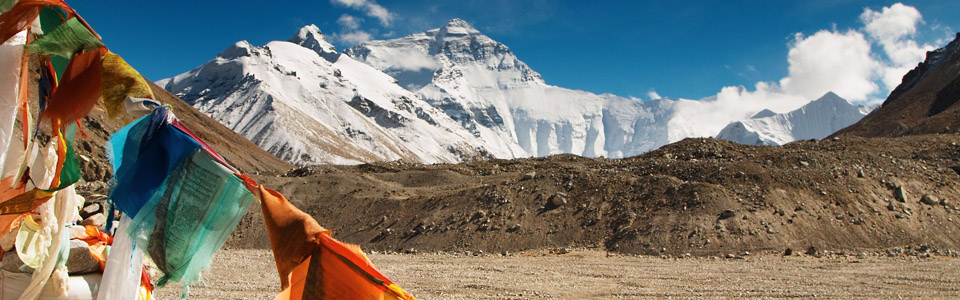
In geological terms, the creation of the Himalayas and the rising of the Tibetan plateau are extremely recent events. The mountains originated less than four million years ago, making them among the youngest in the world.
About 80 million years ago India broke away from an early massive proto continent. Slowly and steadily it moved across the ancient Sea of Tethys, collecting hard sheets of rock along the way. Eventually it rammed into the soft underside of Asia, which the rock easily penetrated and pushed up, creating the Himalayas. From sea level these mountains rose rapidly to a height of nearly 9,000 meters ( 30,000 feet). Today the succession of parallel ranges, running east to west for nearly 3,200 kilometers ( 2,000 miles), reveals this original plate boundary between Indian and Asia. In fact, the movement of Sub-continental India is still forcing the Himalayas upwards at a rate of two centimeters ( 0.8 inches) per year in places.
The rivers of Tibet existed before the collision of India and Asia. As the soft sedimentary rocks that formed the bottom of the Sea of Tethys were folded up, the rivers were able to cut through them and maintain their original north-to-south course. ( The Yarlong Tsangpo River is a major exception.) As a result there are many spectacular gorges and mountain ranges sliced up into individual massifs.
Much of Tibet, once well-forested, lush and fertile, is today one of the world's most terrifying, unforgiving places. As the Himalayas increased in height, less and less moisture reached the areas north of the range. The result has been a slow botanical death to the great northern plateau, the desertification of huge regions of Tibet and Xinjiang.
There are three distinct geographical regions in Greater Tibet. By far the largest natural region is the northern plateau, of Chang Tang, an enormous expanse of over a million square kilometers ( 386,000 square miles). The second main geographical region of Tibet, the outer plateau, extends in a great arc for nearly 3,500 kilometers ( 2,200 miles) from Baltistan in the west to beyond Xining, the capital of Qinghai, in the east. And the last not the least main geographical region is the southeastern plateau or 'river gorge country', comprising only one-tenth of the total area of Tibet. Plant and animal life here is vastly richer than in the other regions. Forest are very much a characteristic of the southeastern plateau; its western and northern boundaries follow the natural limits of trees.
Shannan located to the south of Gangtise ranges, altitude 3500 meters, average temperature 10?, cover an area of 7.35 square km with a population of more than 290,000, with its unique and marvellous historical culture, pure and Fascinating folklore customs, miraculous and charming natural scenes. Shannan always enjoys the high fame of " The roof of Tibetan People, The Cradle of The Tibetan Civilization" which is only in Tibet, and is the focus of the world's attention.